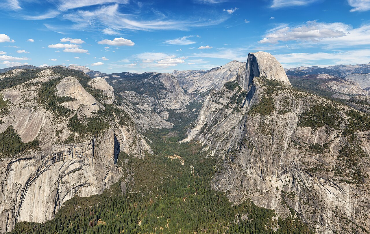
 Representative preview
Yosemite, California · Official camera collection
Yosemite Valley & Badger Pass
Official views cover Half Dome, El Capitan, Yosemite Falls, the High Sierra, Merced River and seasonal Badger Pass conditions.
15 independently described public camera and current-imagery sources.
Representative previewOfficial views cover Half Dome, El Capitan, Yosemite Falls, the High Sierra, Merced River and seasonal Badger Pass conditions.
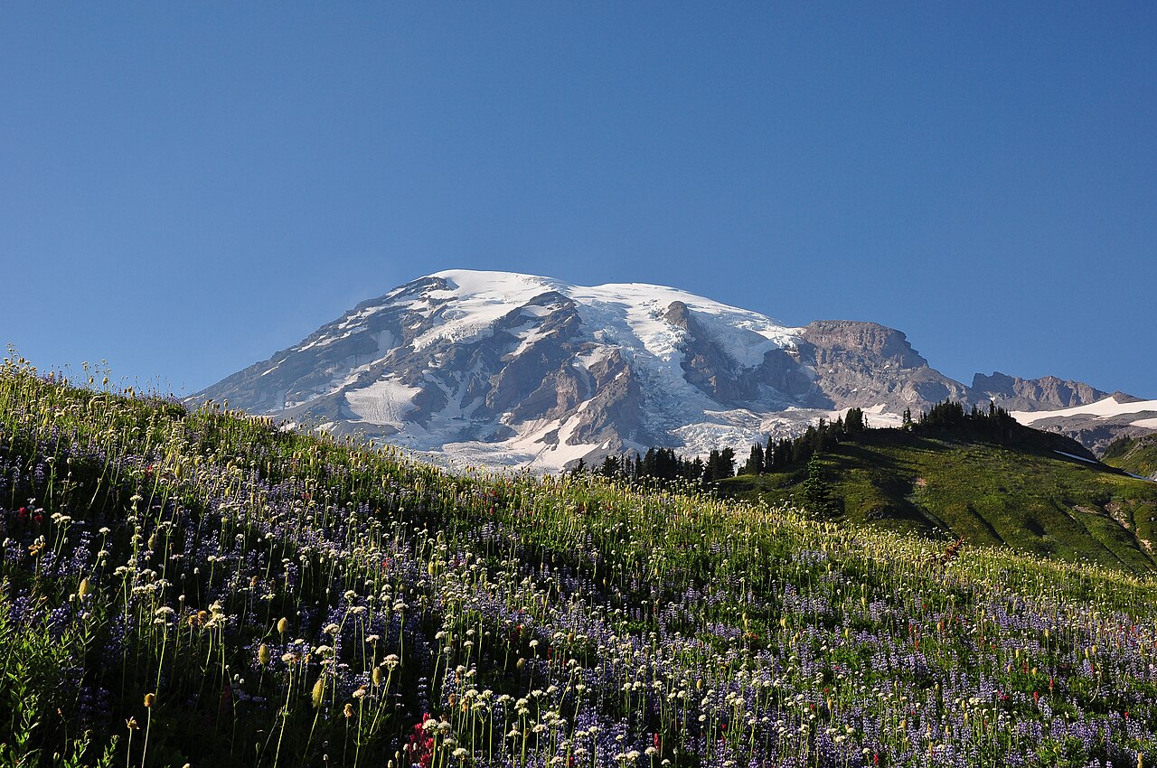 Representative preview
Official Mount Rainier webcams at Longmire, Paradise and Sunrise help answer whether the mountain is visible today while showing snow, parking and surrounding conditions.
 Representative preview
Four mountain views cover Sun Up Bowl, the Back Bowls, Gore Range and Eagle’s Nest areas.
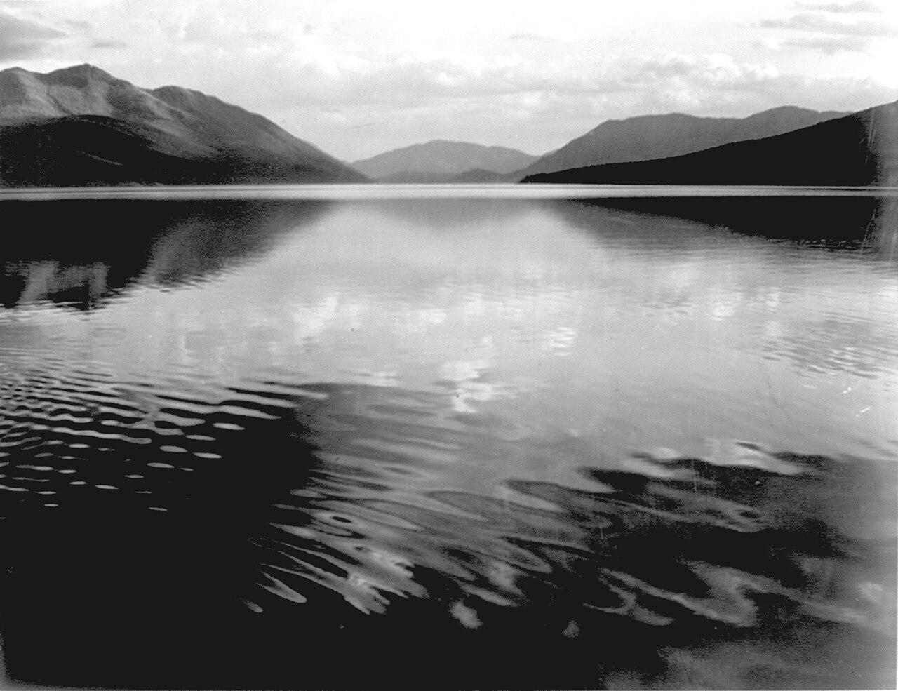 Representative preview
Multiple park cameras show mountain visibility, snow and conditions near major visitor areas.
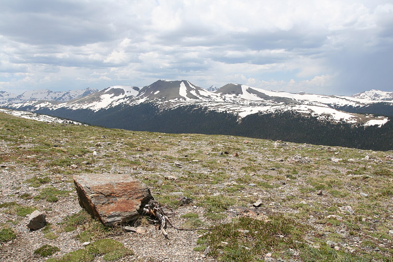 Representative preview
High-elevation views show snow, clouds and mountain conditions around the park.
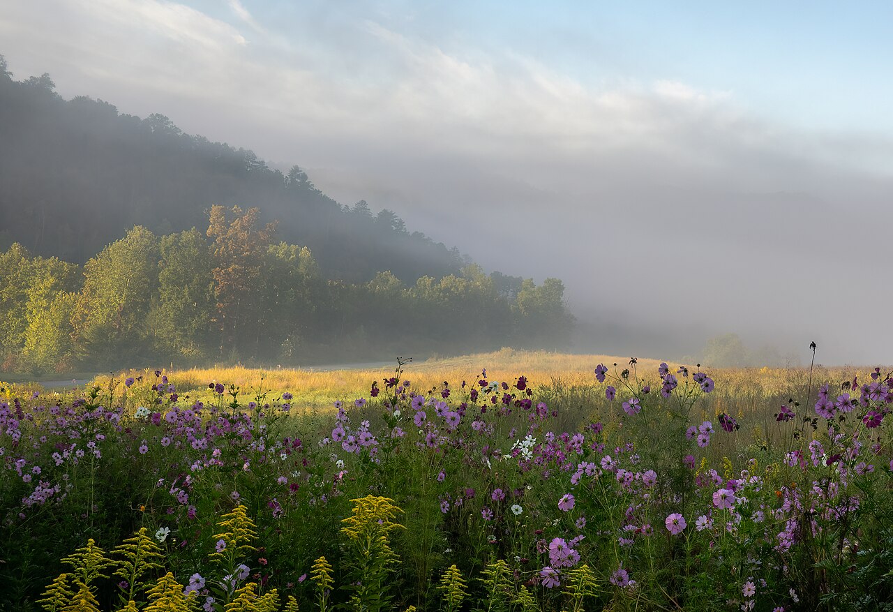 Representative preview
See mountain visibility and haze across the Smokies from an official park source.
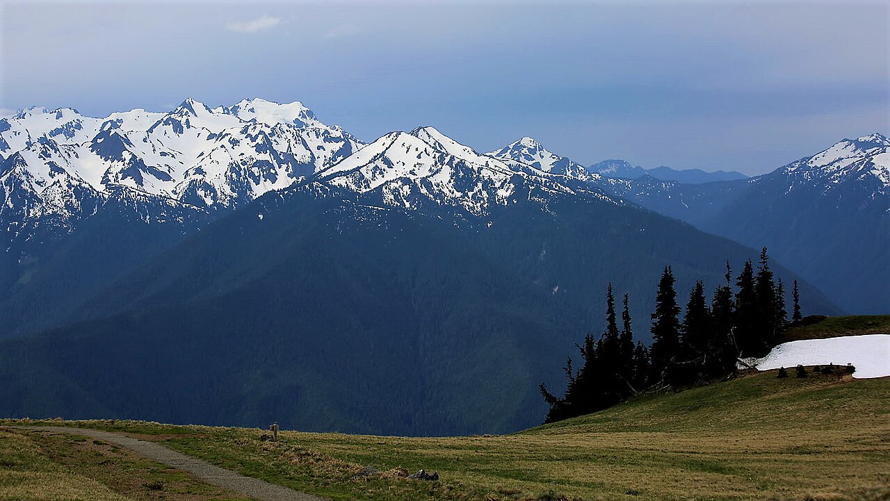 Representative preview
Mountain and visitor-area cameras provide a visual check of clouds, snow and visibility.
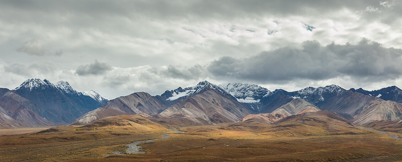 Representative preview
A remote Alaska view where clouds, snow and daylight vary dramatically by season.
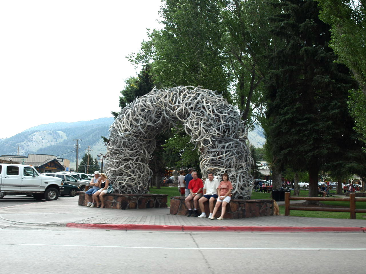 Representative preview
A lively town-square and mountain-region camera network for weather, crowds and seasonal scenery.
 Representative preview
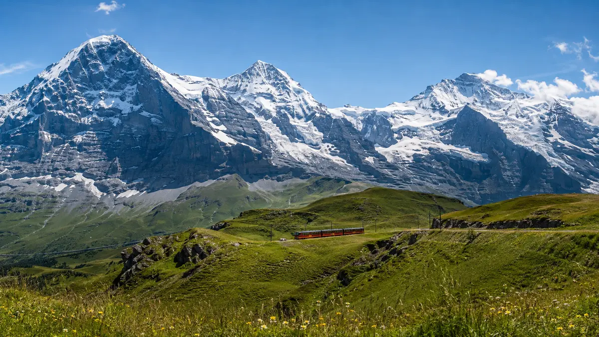
Official Jungfraujoch live cams and Jungfrau Region webcams show Grindelwald, Wengen, the Eiger, alpine weather and the Aletsch Glacier.
 Representative preview
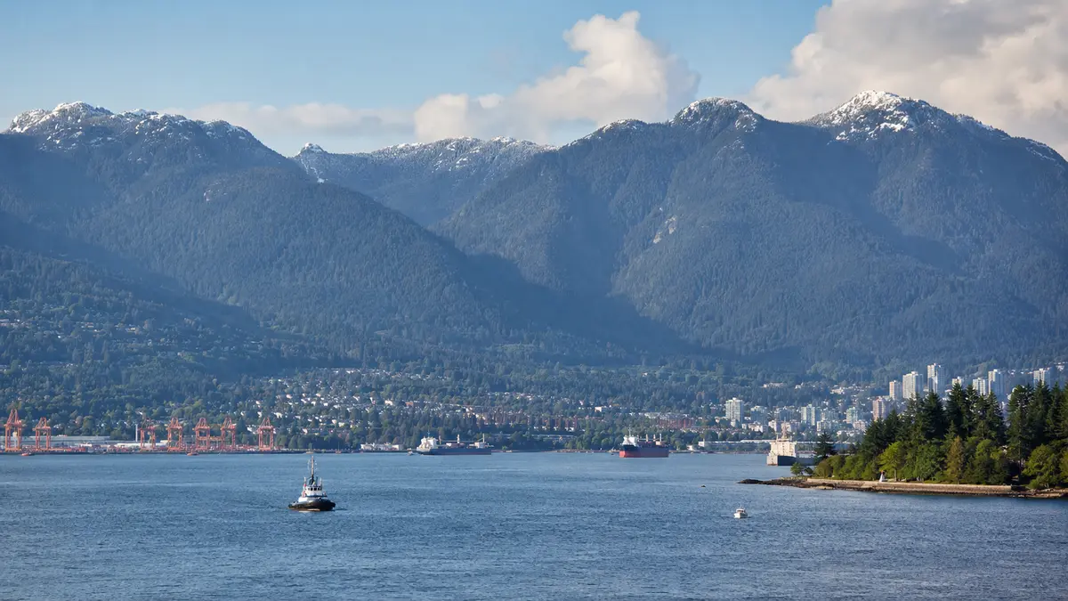
A regional gateway to mountain, marina and inlet views including Grouse Mountain, Cypress and Deep Cove.
 Representative preview
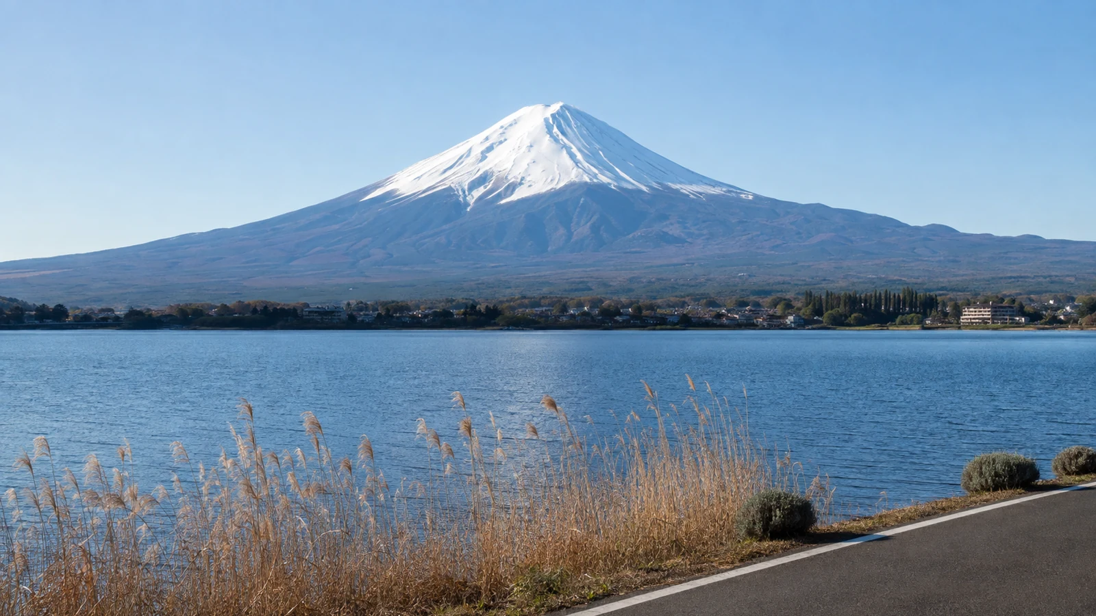
Shizuoka Prefecture’s official Mount Fuji map offers active views from Shimizu Port, Fujinomiya and Gotemba plus links to other public cameras.
 Representative preview
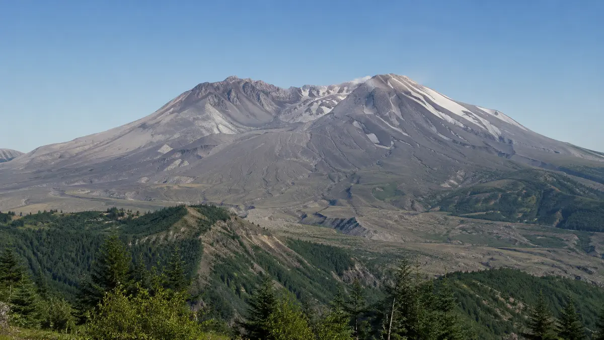
The USGS Cascades Volcano Observatory camera looks south from Johnston Ridge toward the crater for scientific situational awareness.
 Representative preview
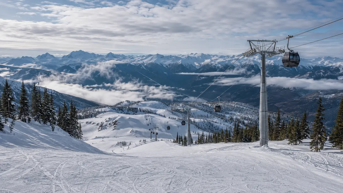
Official resort cameras show high-alpine visibility, snow coverage and activity around Whistler and Blackcomb mountain viewpoints.
 Representative preview
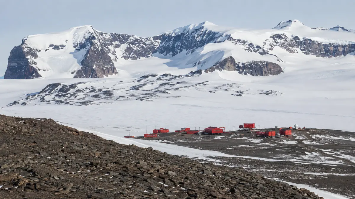
The Norwegian Polar Institute publishes a remote view from Troll Station in Queen Maud Land.