 Representative preview
Tokyo · Authorized broadcaster livestream
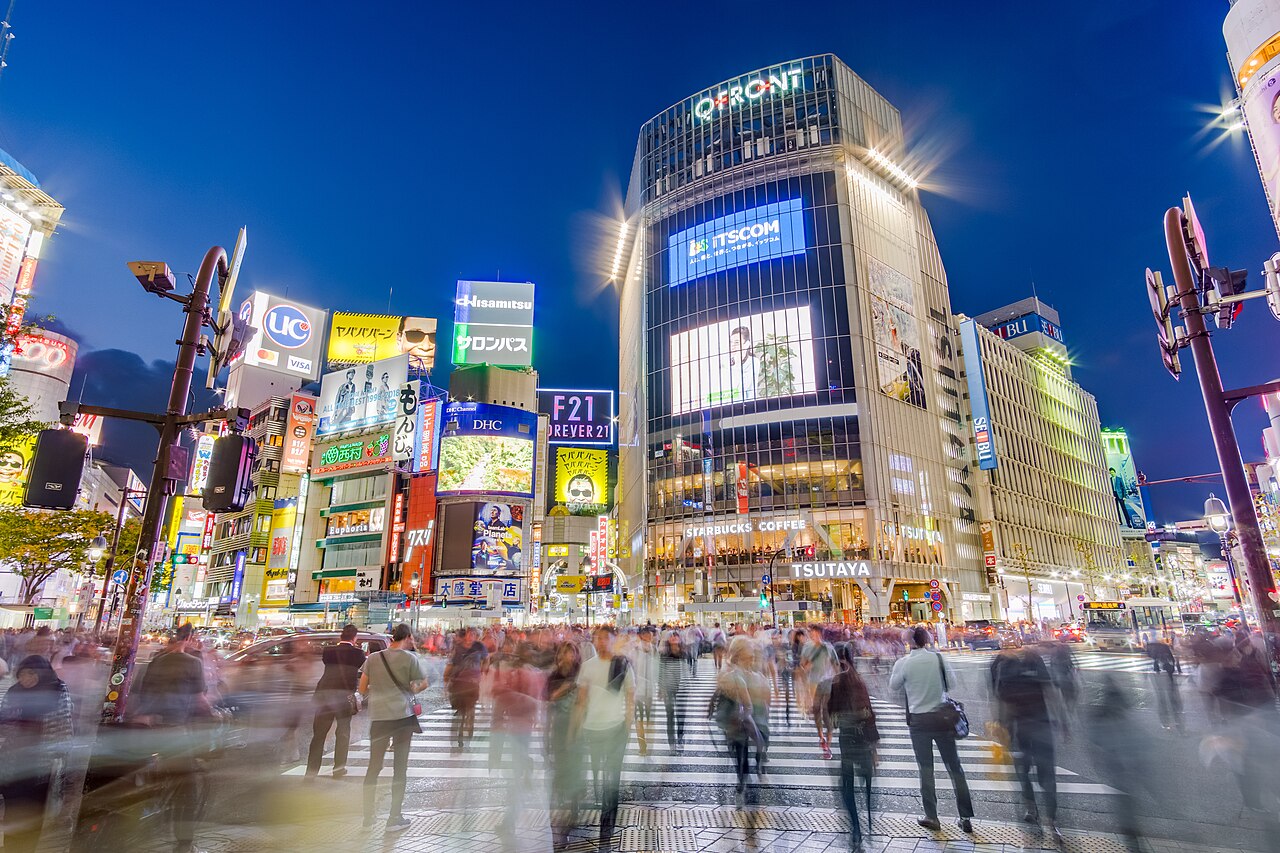
Shibuya Crossing
A changing city view of one of the world’s busiest pedestrian crossings.
22 independently described public camera and current-imagery sources.
Representative previewA changing city view of one of the world’s busiest pedestrian crossings.
 Representative preview
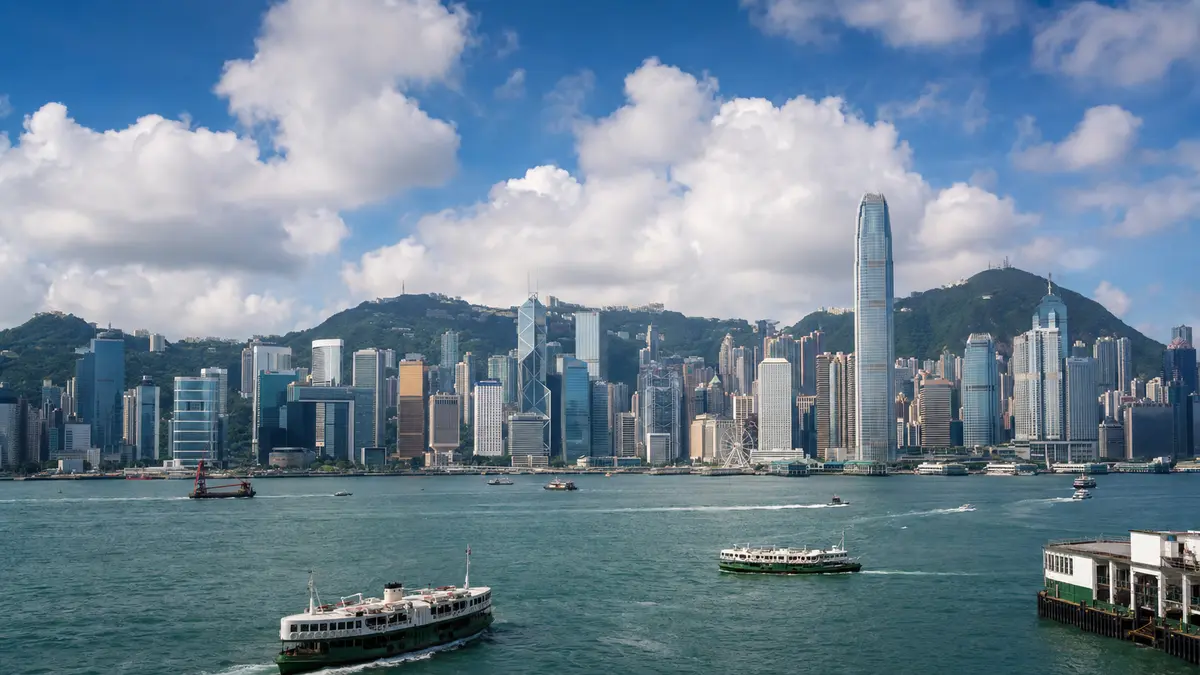
The Observatory’s regional camera network shows current skyline, harbor and visibility conditions from multiple locations.
 Representative preview
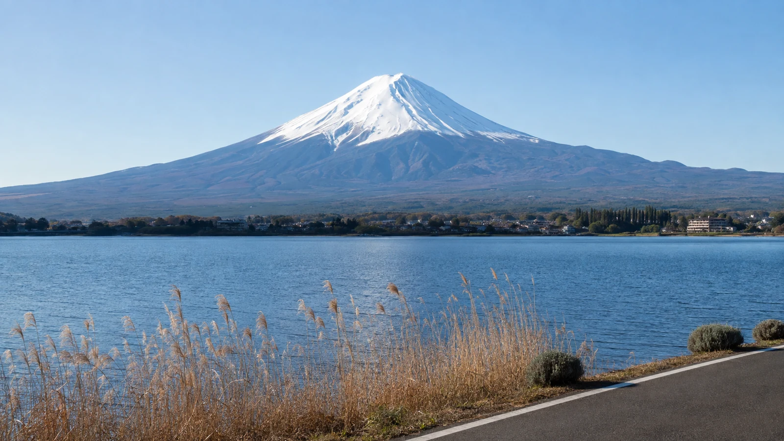
Shizuoka Prefecture’s official Mount Fuji map offers active views from Shimizu Port, Fujinomiya and Gotemba plus links to other public cameras.
 Representative preview
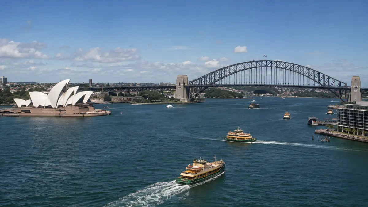
An established privately operated harbor stream provides panoramic views of ferries, ship movements, the Opera House and Harbour Bridge.
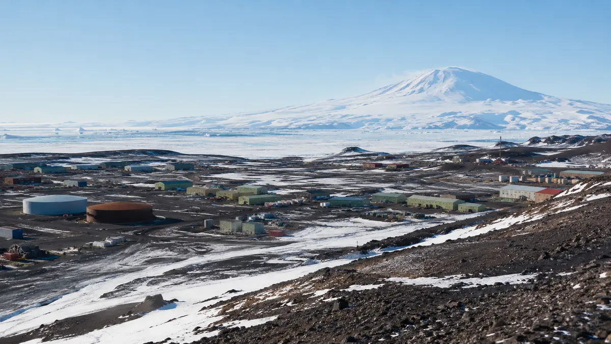 Representative preview
The U.S. Antarctic Program view shows current conditions around McMurdo Station on Ross Island.
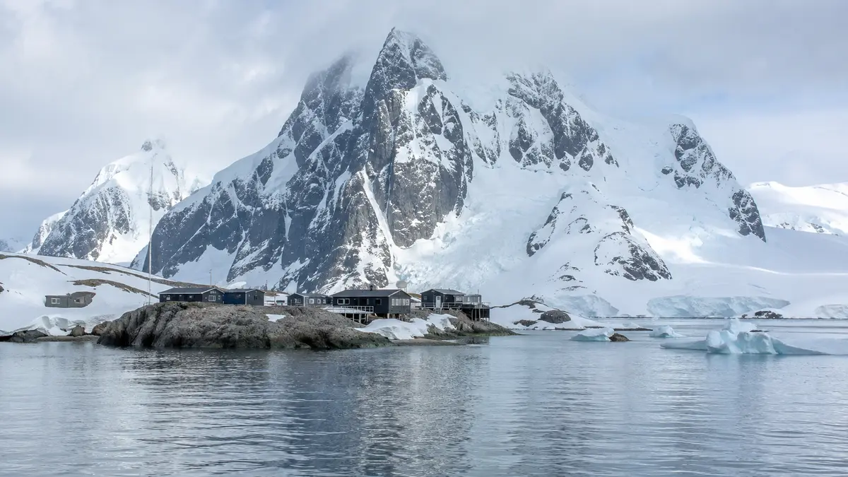 Representative preview
A frequently refreshed official view across Palmer Station and Arthur Harbour.
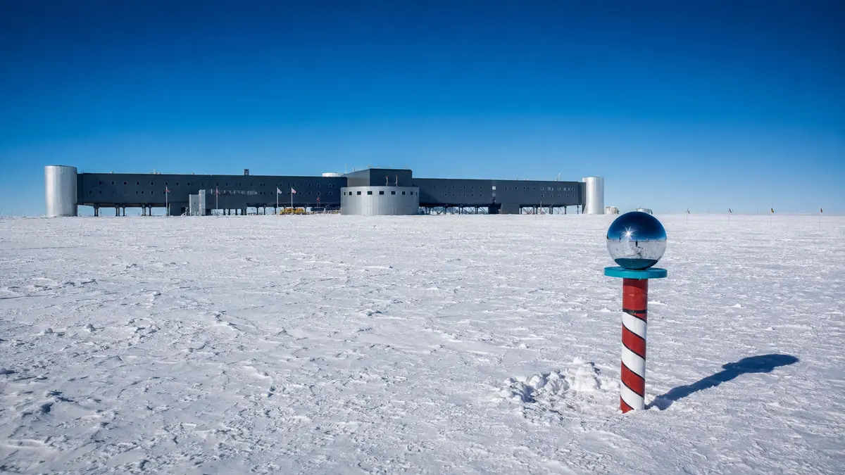 Representative preview
NOAA provides a current exterior view from its South Pole observatory when satellite communications allow.
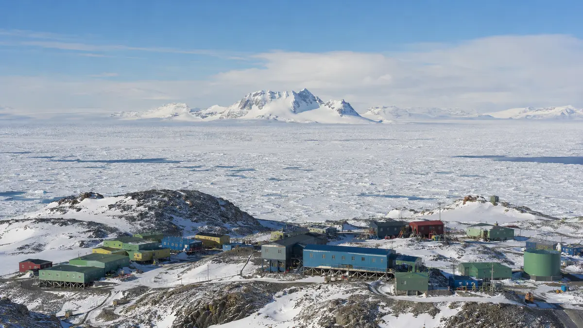 Representative preview
The Australian Antarctic Division publishes current views of Mawson Station and its coastal surroundings.
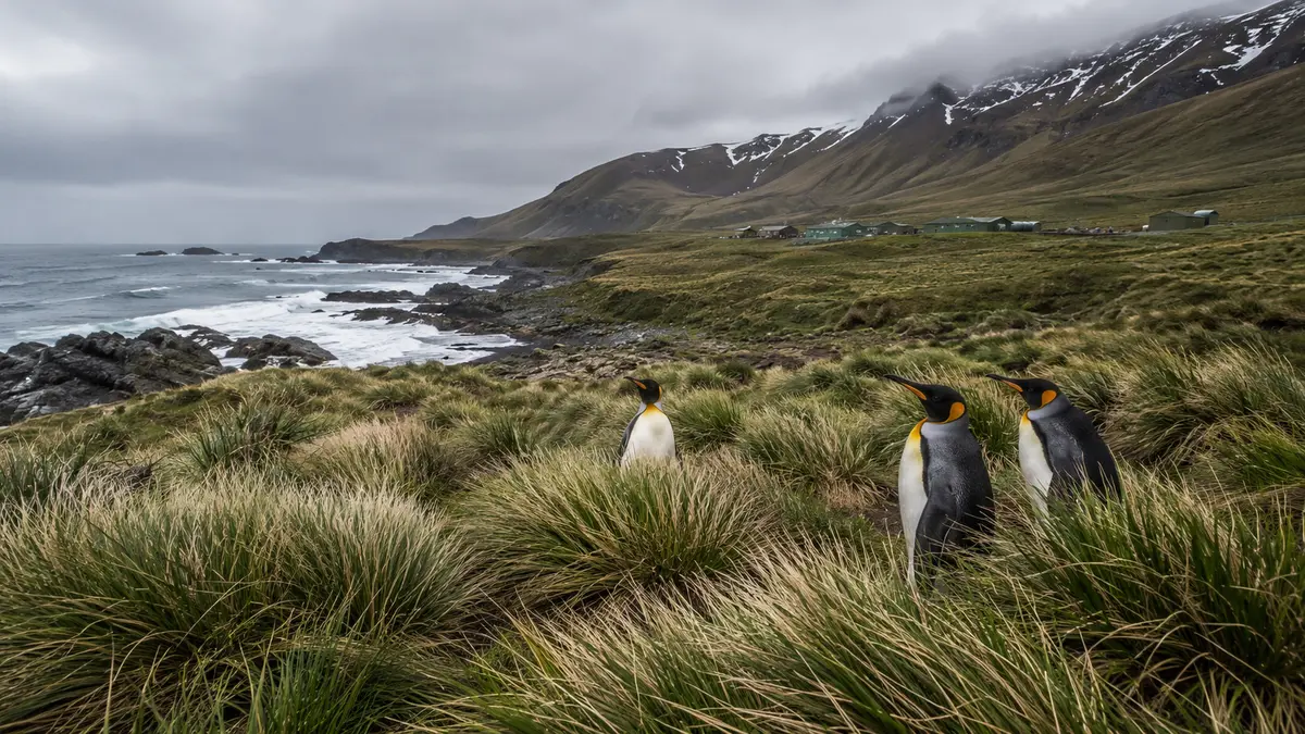 Representative preview
A remote official view from the World Heritage-listed subantarctic island and research station.
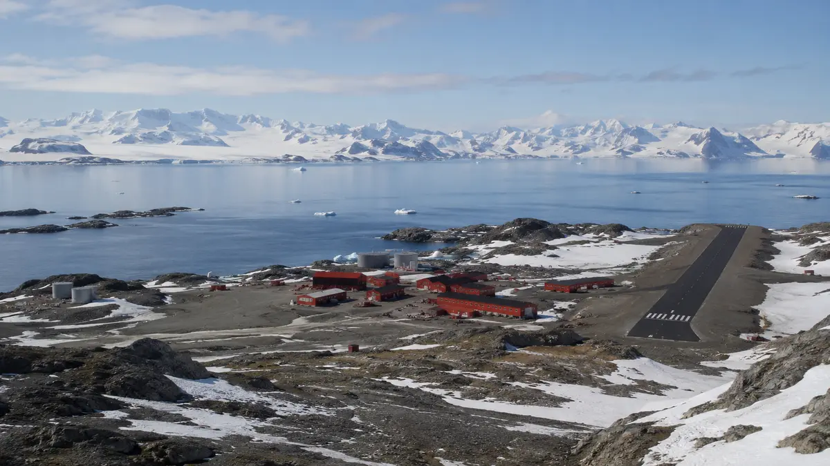 Representative preview
The British Antarctic Survey webcam hub includes current imagery from Rothera and other remote research locations.
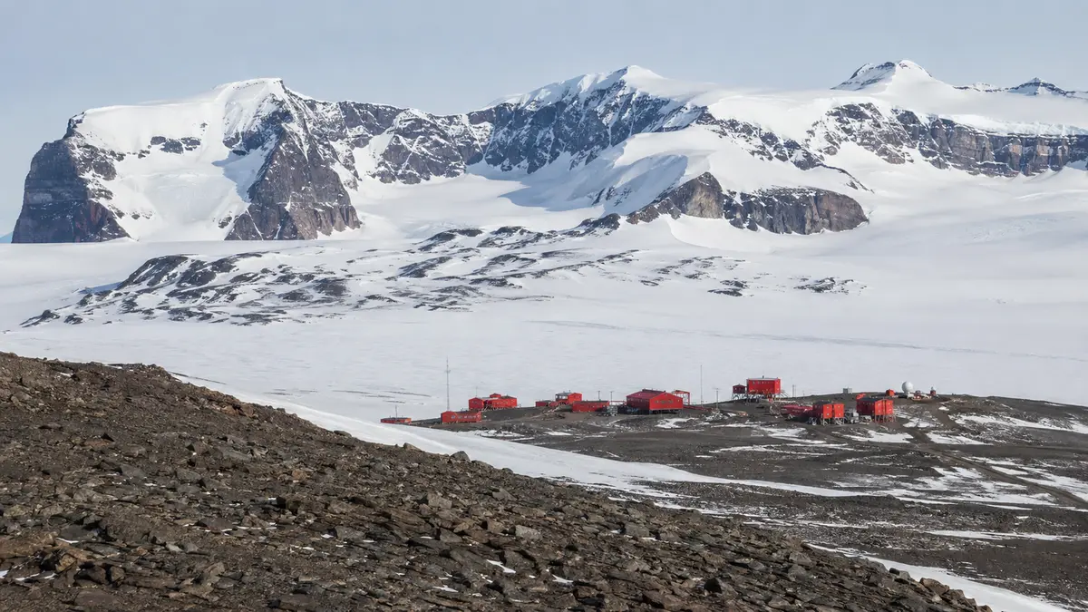 Representative preview
The Norwegian Polar Institute publishes a remote view from Troll Station in Queen Maud Land.
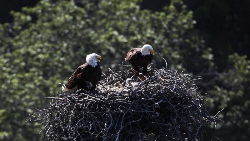 Representative preview
New Zealand’s Department of Conservation operates a close live view of a northern royal albatross nest during breeding season.
 Representative preview
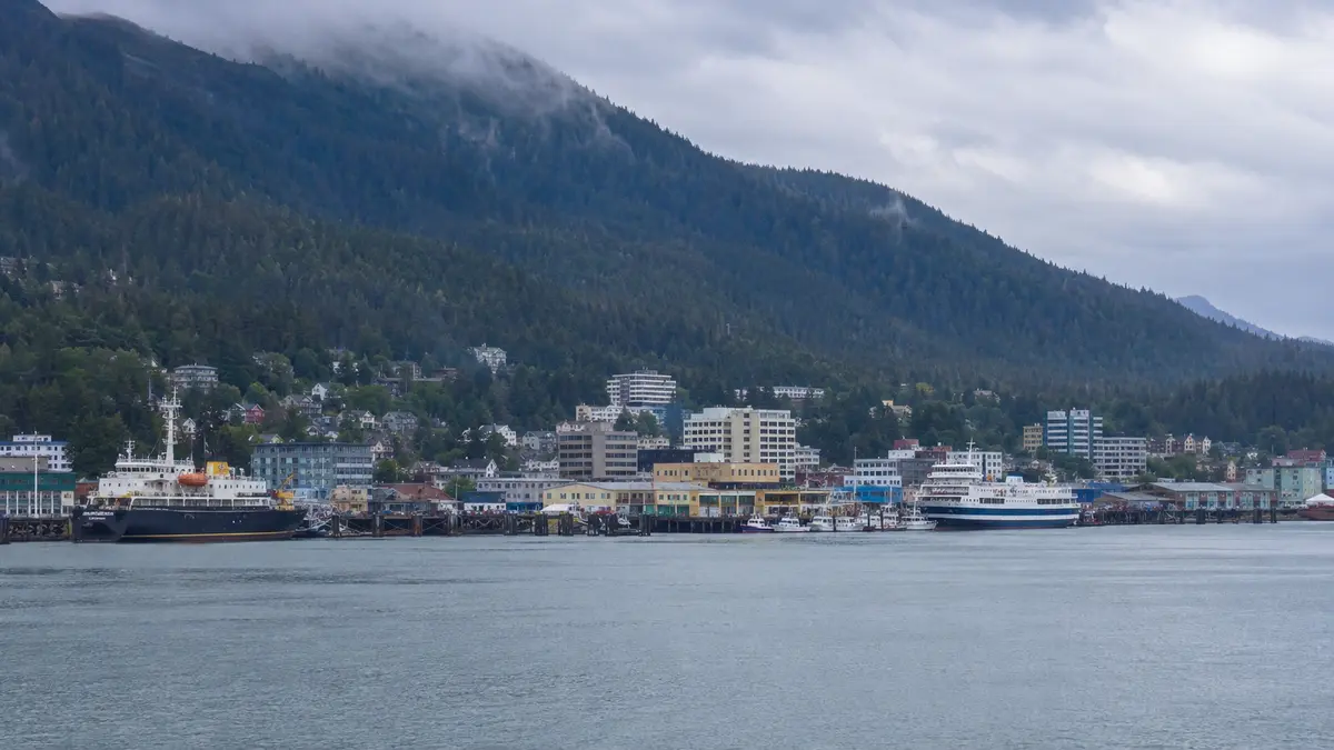
The Australian Antarctic Division webcam hub includes imagery from the research icebreaker RSV Nuyina when available.
 Representative preview
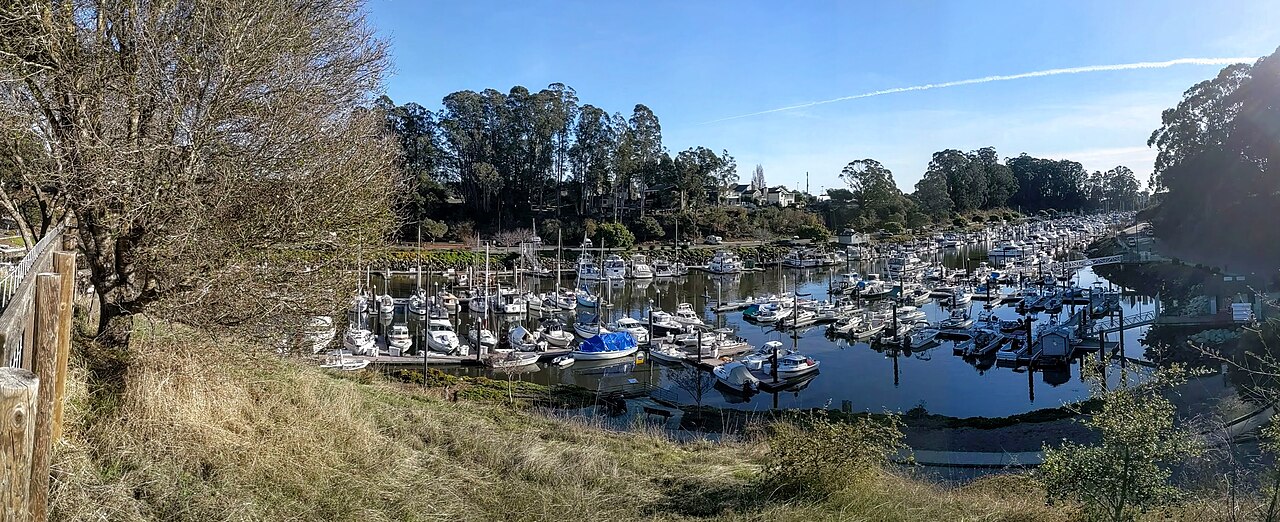
Official harbour cameras show current entrance, sea and visibility conditions around Nelson.
 Representative preview
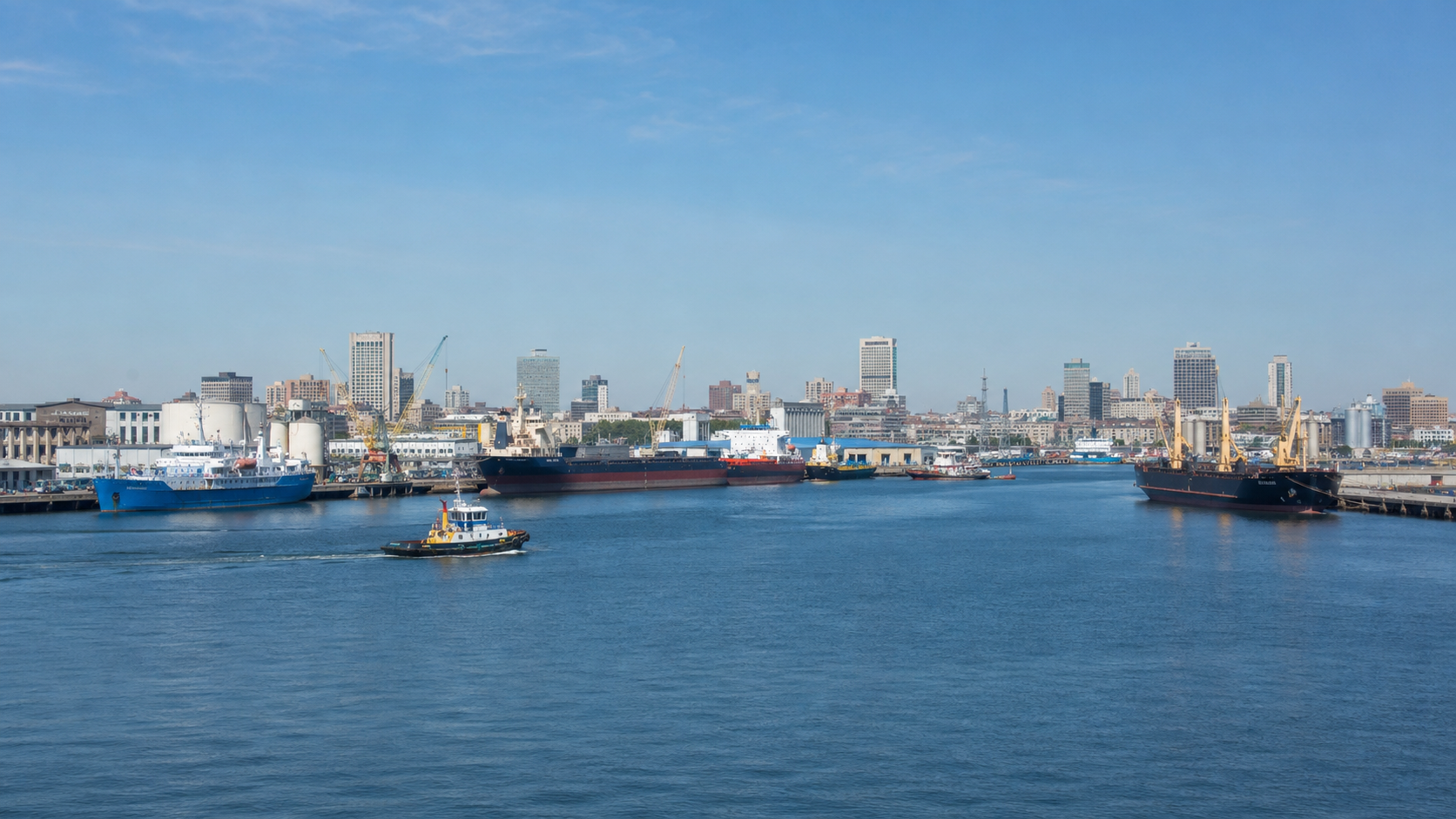
Multiple official views from Beacon Hill show the harbour entrance, Cook Strait weather, visibility and ship movement.
Representative previewSeveral Port Otago views cover Taiaroa Head, Aramoana and the active entrance to Otago Harbour.
Representative previewAn official entrance view with surf, breakwaters, boats and changing coastal conditions at Tweed Heads.
Representative previewA clear government view of the Brunswick River entrance, its breakwaters and changing ocean conditions.
Representative previewAn official look across the Hastings River mouth for boats, offshore conditions, surf and weather.
Representative previewA distinctive exposed entrance view framed by Narooma’s breakwaters and constantly changing sea conditions.
Representative previewAn attractive South Coast harbour and bar view with fishing boats, swell and changeable weather.
Representative previewA broad bay and Clyde River entrance view for observing boating, swell, visibility and coastal weather.