PlanetWindow verified source profile

GOES Image Viewer

Independent viewing notes for the public source operated by NOAA / National Weather Service in Americas and surrounding oceans.

A NOAA GOES weather satellite in orbit above Earth.
Subject image—not the live feed. NOAA · U.S. government work · source ↗

GOES Image Viewer

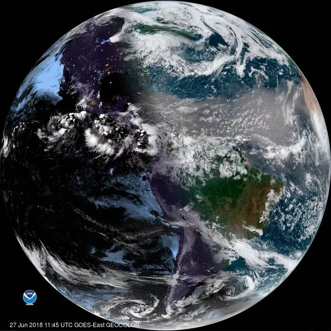
NOAA’s operational GOES viewer offers current regional imagery and loops rather than one conventional camera feed.

Location
Americas and surrounding oceans
Operator
NOAA / National Weather Service
Source type
Current satellite images and animations
Facts checked
2026-08-07

Verified source facts

Best for
Storm development, cloud motion, smoke and regional weather patterns
Not ideal for
Replacing official safety, travel, weather or operating information
Camera type
Scientific satellite imagery—not a webcam
Refresh
New frames arrive on operational satellite schedules
Audio
Not confirmed by operator
Night viewing
Varies with lighting and operator settings
View
Toward the featured GOES Image Viewer view
Best viewing time
Any time
Seasonality
Year-round
Typical activity
Storm development, cloud motion, smoke and regional weather patterns
Camera movement
Varies by operator
Known limitations
Weather, darkness, maintenance, bandwidth and operator policy can affect availability.
What may be visibleNorth and South America · Atlantic and Pacific weather systems

Why this listing is useful

NOAA’s operational GOES viewer offers current regional imagery and loops rather than one conventional camera feed. The official source opens in a new tab, while this independently researched profile remains available for comparison and discovery.

Accuracy standard

  • Live video, refreshed still images, trackers and scientific imagery are labeled separately.
  • Unknown details are labeled rather than guessed.
  • Availability can change without notice.