 Representative preview
Yellowstone, Wyoming · Live stream
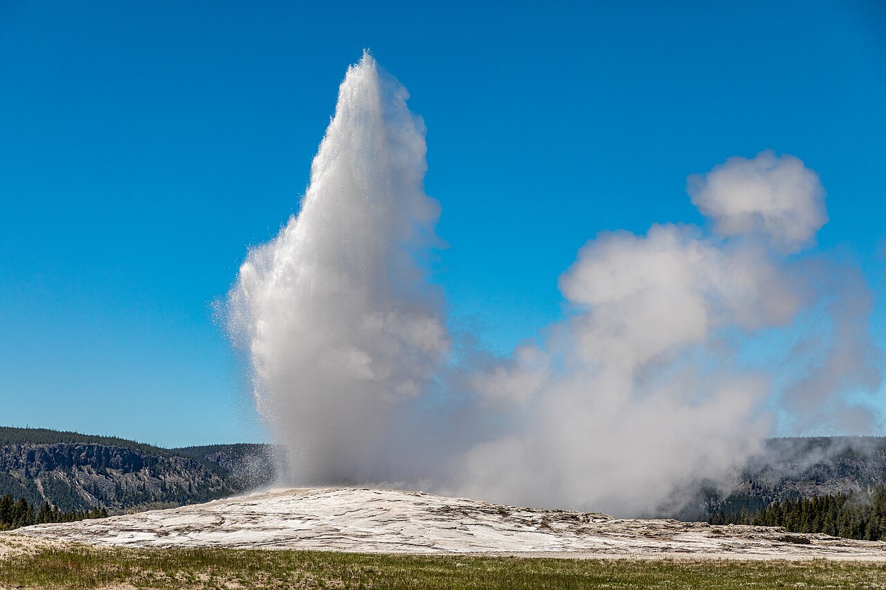
Old Faithful
A live view across the Upper Geyser Basin, home to Old Faithful and hundreds of active geysers.
53 independently described public camera and current-imagery sources.
Representative previewA live view across the Upper Geyser Basin, home to Old Faithful and hundreds of active geysers.
 Representative preview
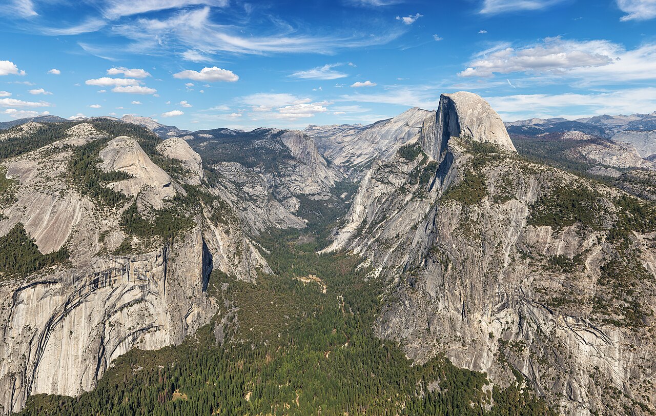
Official views cover Half Dome, El Capitan, Yosemite Falls, the High Sierra, Merced River and seasonal Badger Pass conditions.
 Representative preview
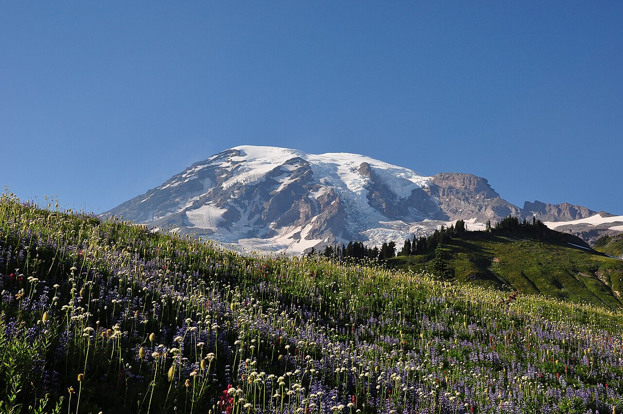
Official Mount Rainier webcams at Longmire, Paradise and Sunrise help answer whether the mountain is visible today while showing snow, parking and surrounding conditions.
 Representative preview
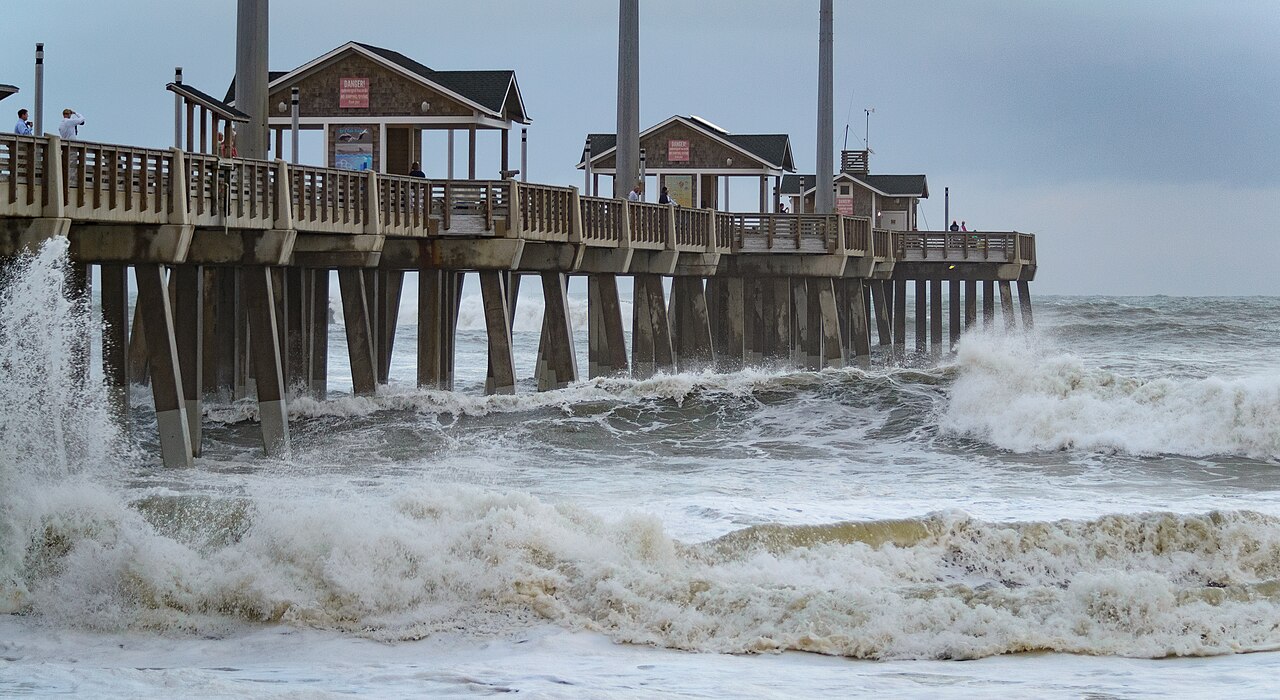
A coastal view around Jennette’s Pier, an aquarium-operated educational ocean pier in Nags Head.
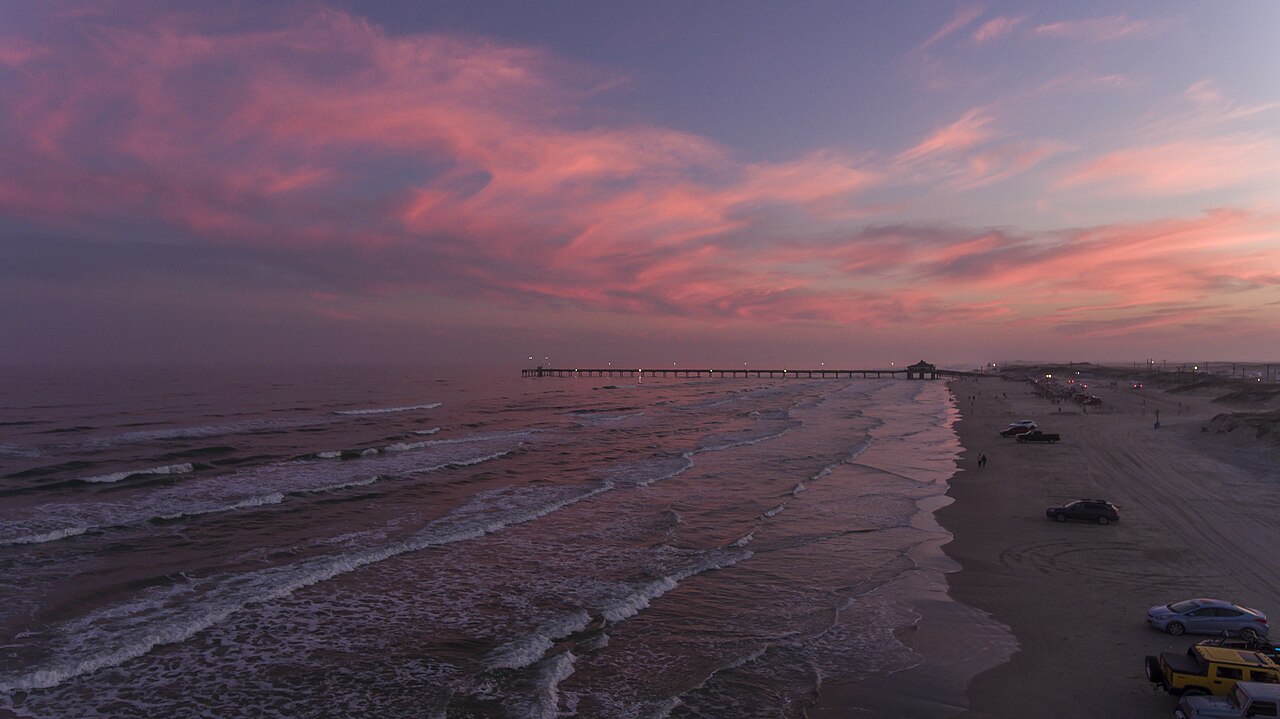 Representative preview
Official North Beach, South Beach and Queen Isabella Causeway views for surf, weather and island conditions.
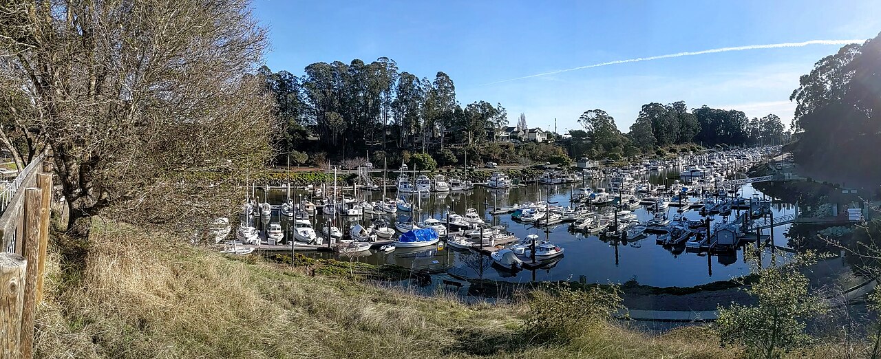 Representative preview
A practical live look at the harbor entrance and nearshore weather used by boaters, anglers and coastal visitors.
 Representative preview
Four mountain views cover Sun Up Bowl, the Back Bowls, Gore Range and Eagle’s Nest areas.
 Representative preview
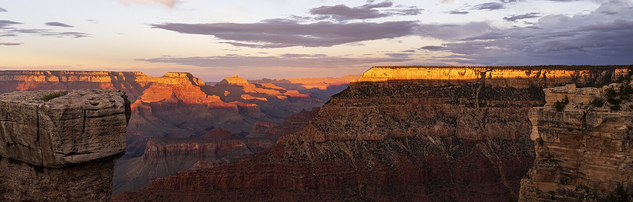
A South Rim view useful for checking visibility, clouds, snow and canyon atmosphere.
 Representative preview
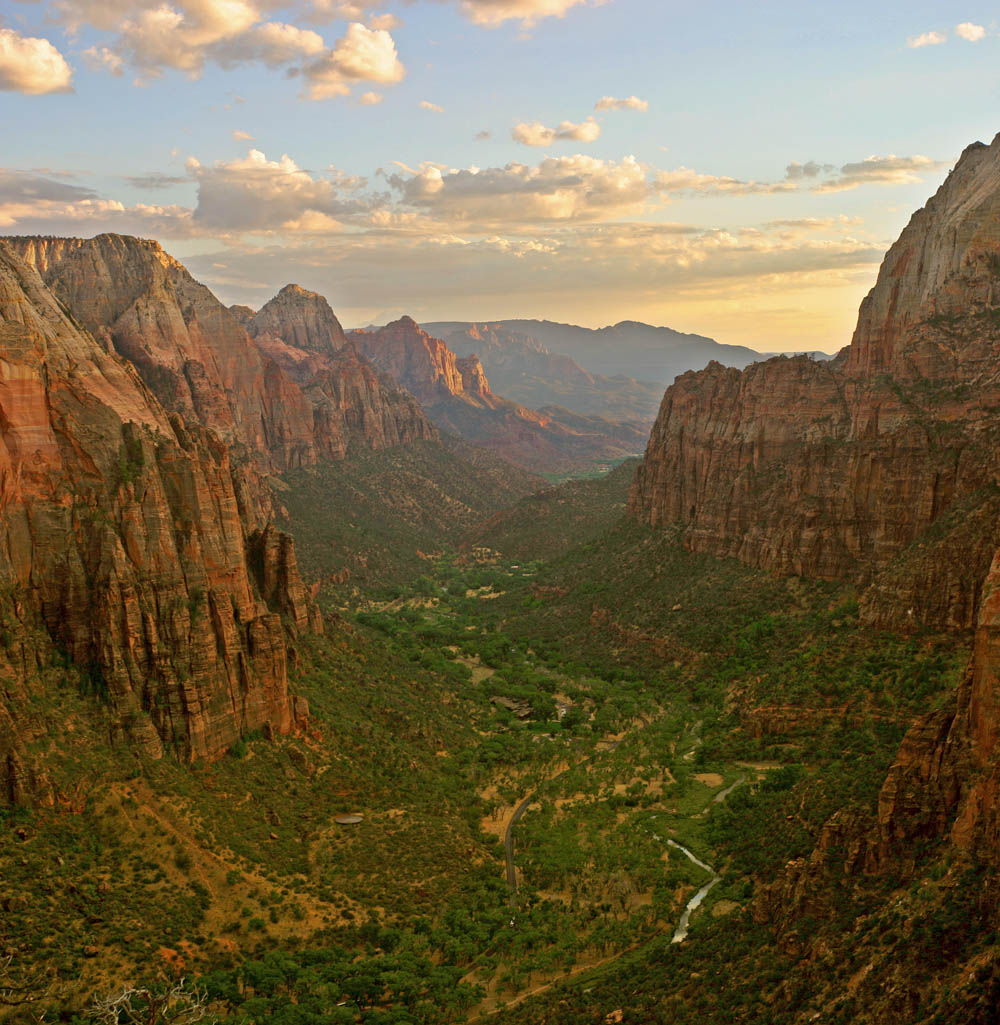
See current sky, canyon visibility and seasonal conditions around Zion.
 Representative preview
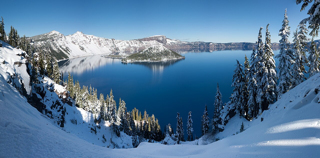
Views around Rim Village reveal snow depth, visibility and the lake when clouds permit.
 Representative preview
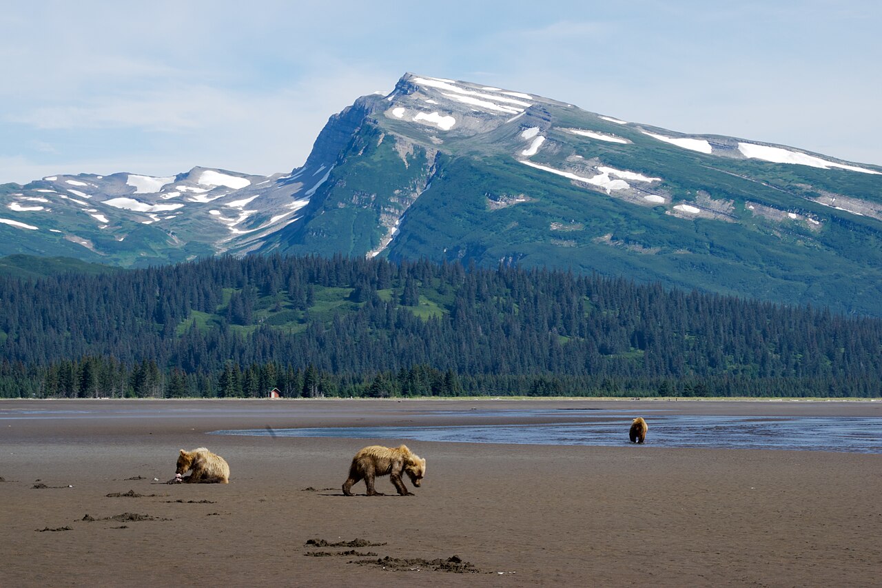
The NPS weather page links current FAA camera views around Lake Clark Pass, Nondalton and Merrill Pass.
 Representative preview
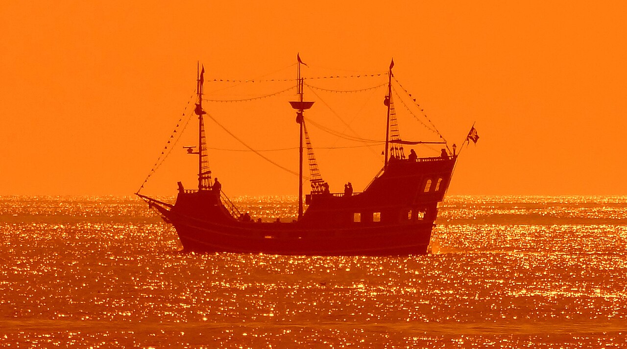
Gulf Coast views help visitors see sky, beach activity and surf appearance before heading out.
 Representative preview
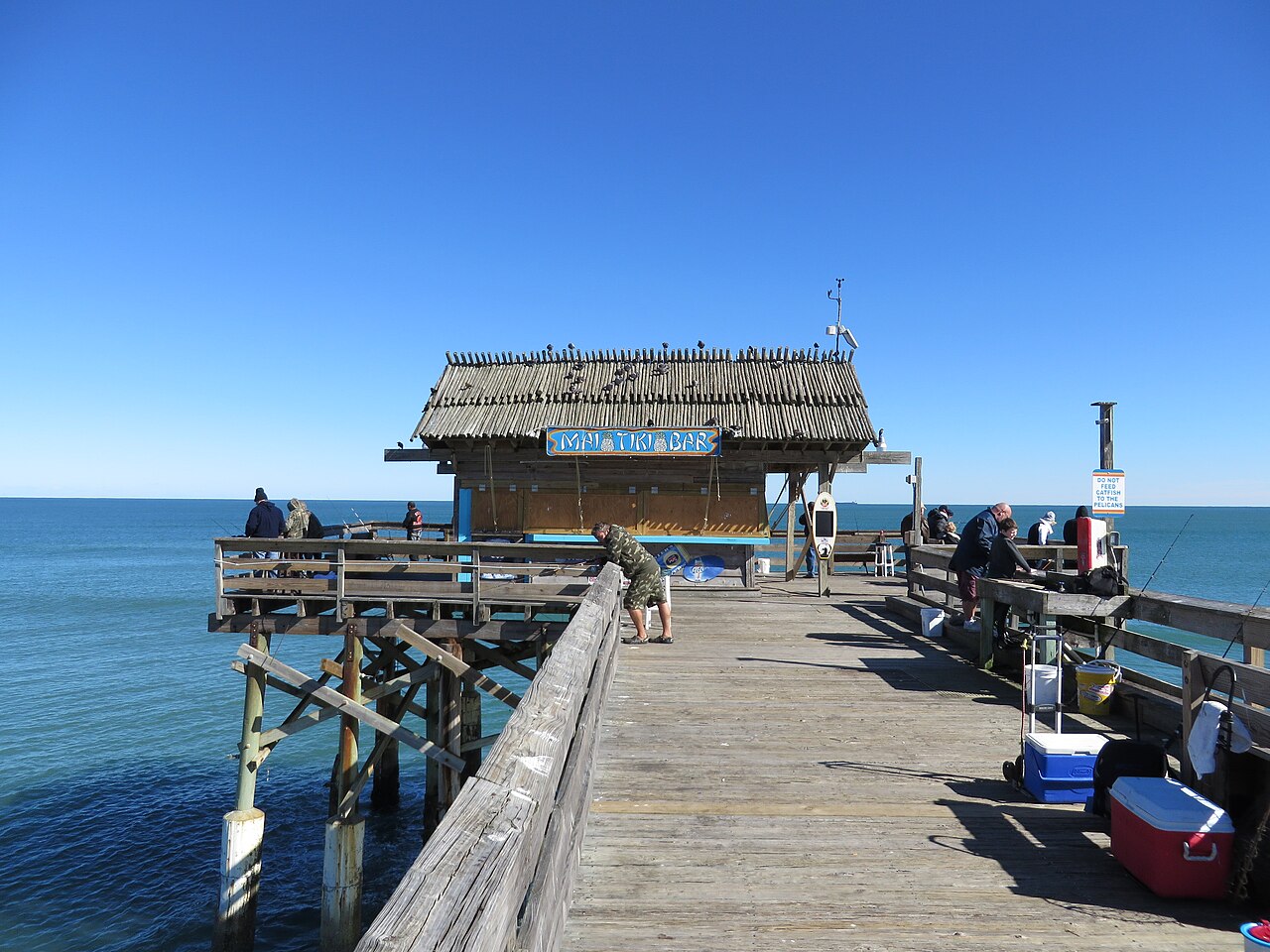
A current live coastal view of Cocoa Beach Pier for waves, crowds and weather.
 Representative preview
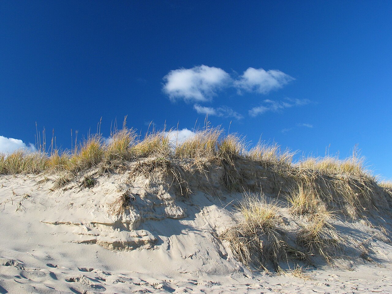
The National Park Service directory links current views of Cape Cod beaches and coastal conditions.
 Representative preview
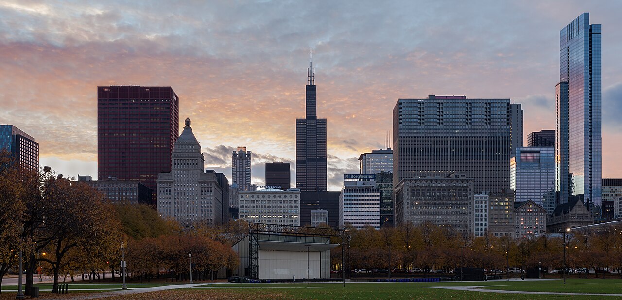
See skyline visibility, lakefront weather, city lights and changing conditions.
 Representative preview
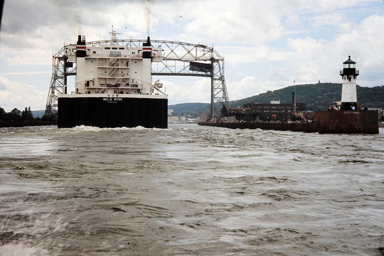
Watch Great Lakes ships enter and leave Duluth through the canal beneath the lift bridge.
 Representative preview
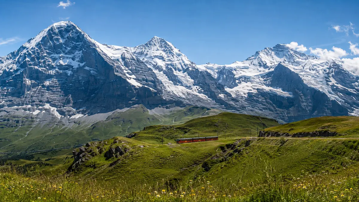
Official Jungfraujoch live cams and Jungfrau Region webcams show Grindelwald, Wengen, the Eiger, alpine weather and the Aletsch Glacier.
 Representative preview
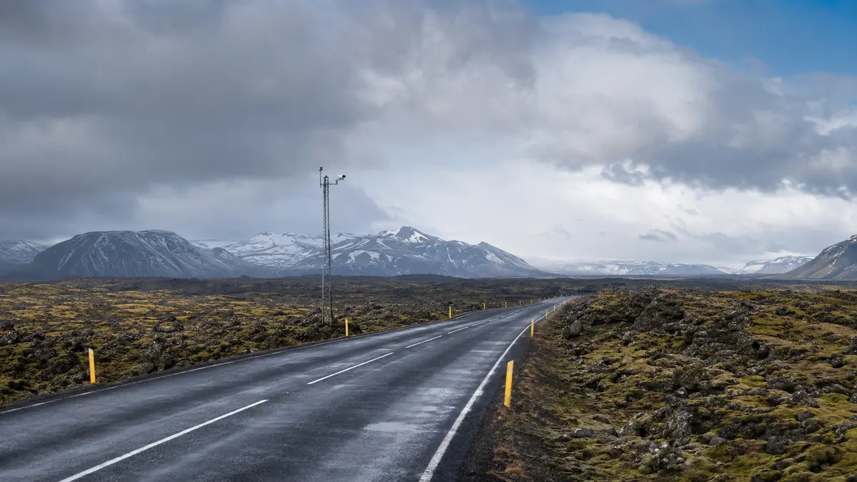
A nationwide official map of roadside images built to show visibility, road weather and rapidly changing travel conditions.
 Representative preview
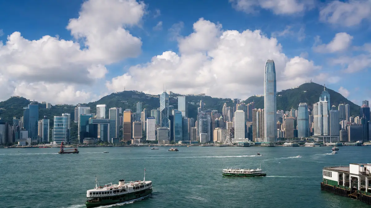
The Observatory’s regional camera network shows current skyline, harbor and visibility conditions from multiple locations.
 Representative preview
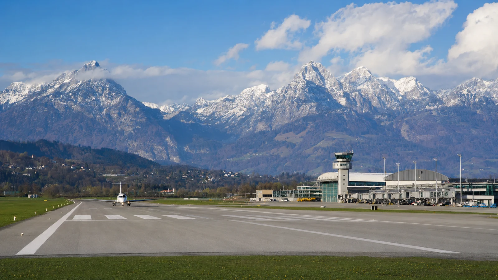
Airport-operated views show the apron, runway environment, Alpine backdrop and current visibility.
 Representative preview
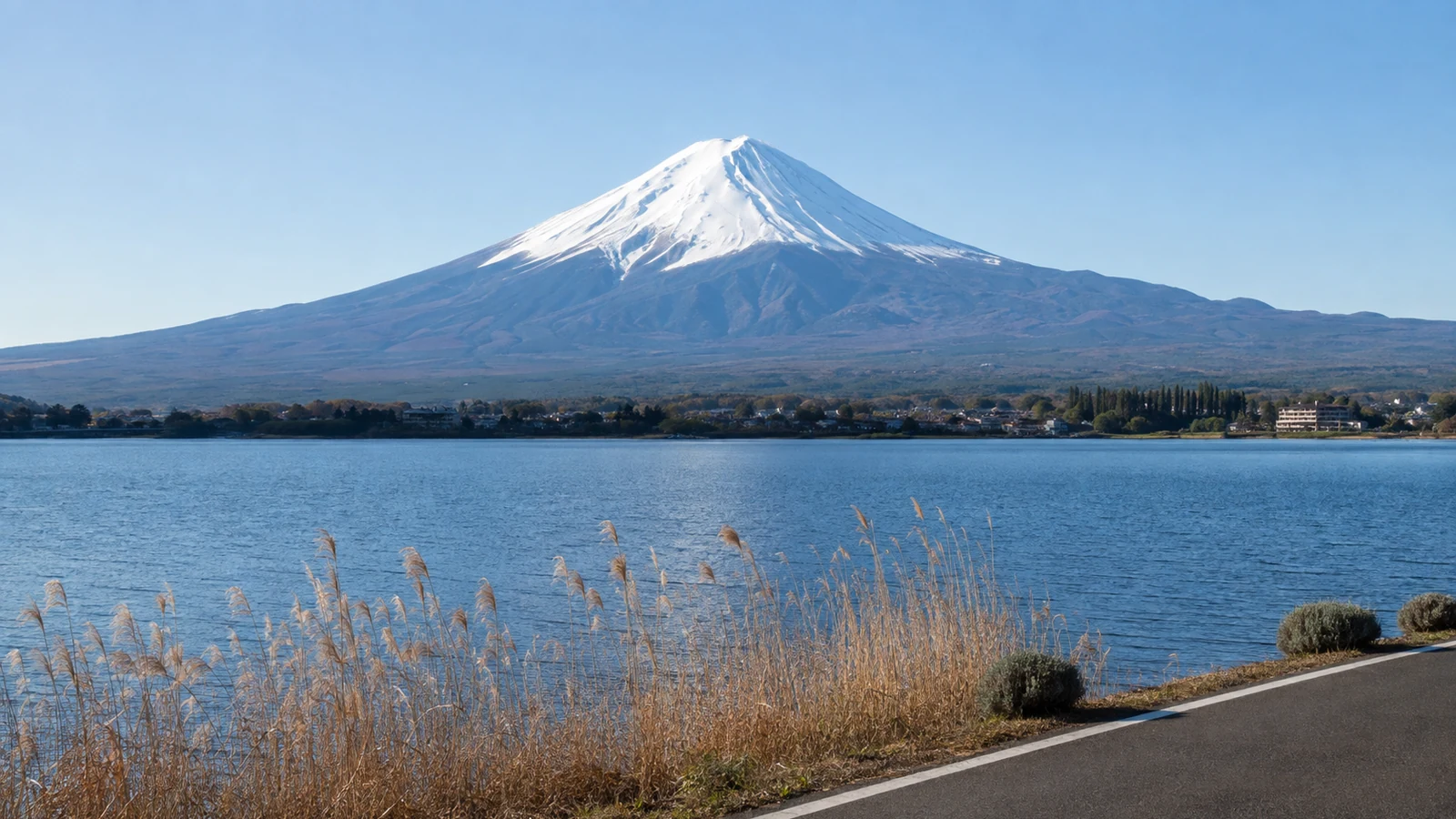
Shizuoka Prefecture’s official Mount Fuji map offers active views from Shimizu Port, Fujinomiya and Gotemba plus links to other public cameras.
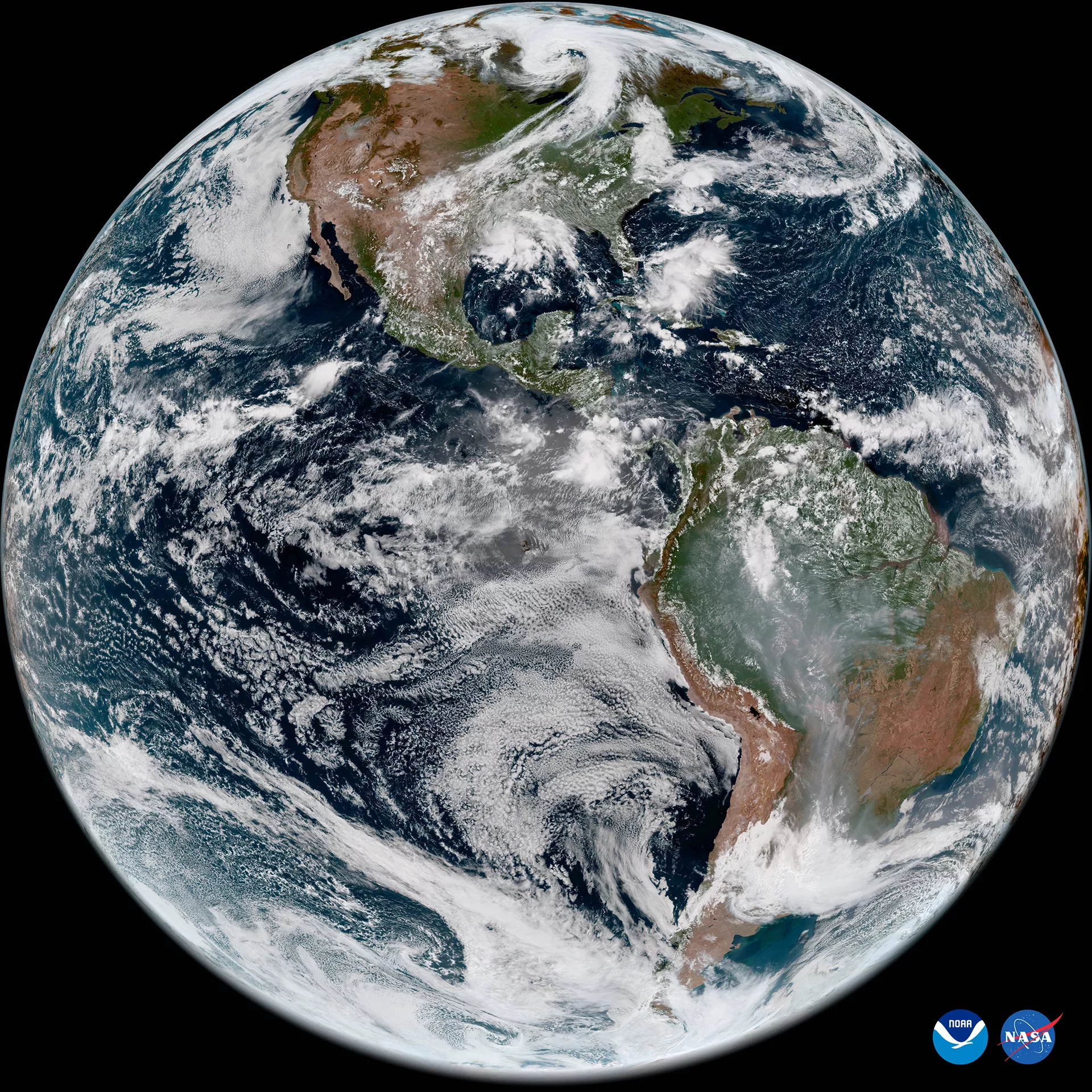 Representative preview
An interactive NOAA view of the latest operational satellite imagery for clouds, storms and weather systems around the planet.
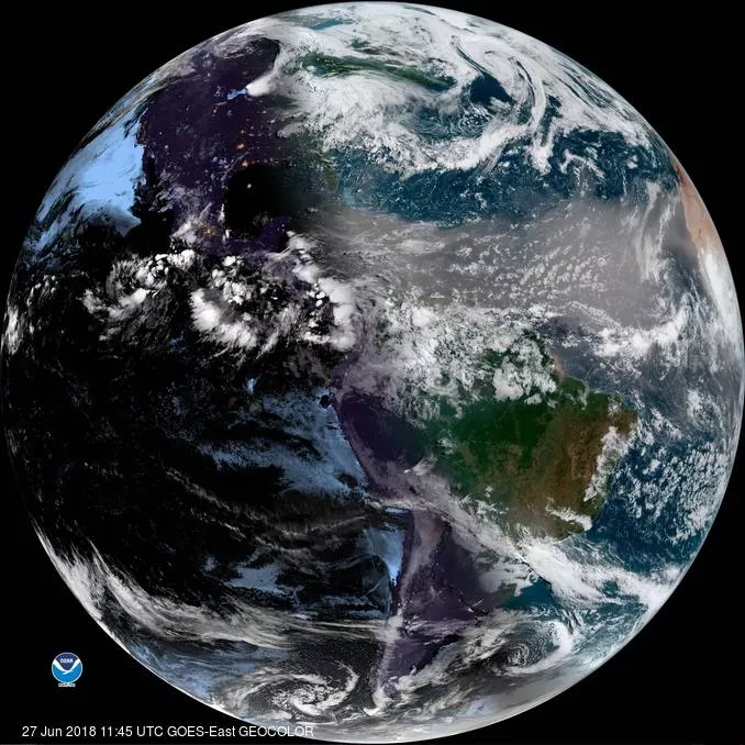 Representative preview
NOAA’s operational GOES viewer offers current regional imagery and loops rather than one conventional camera feed.
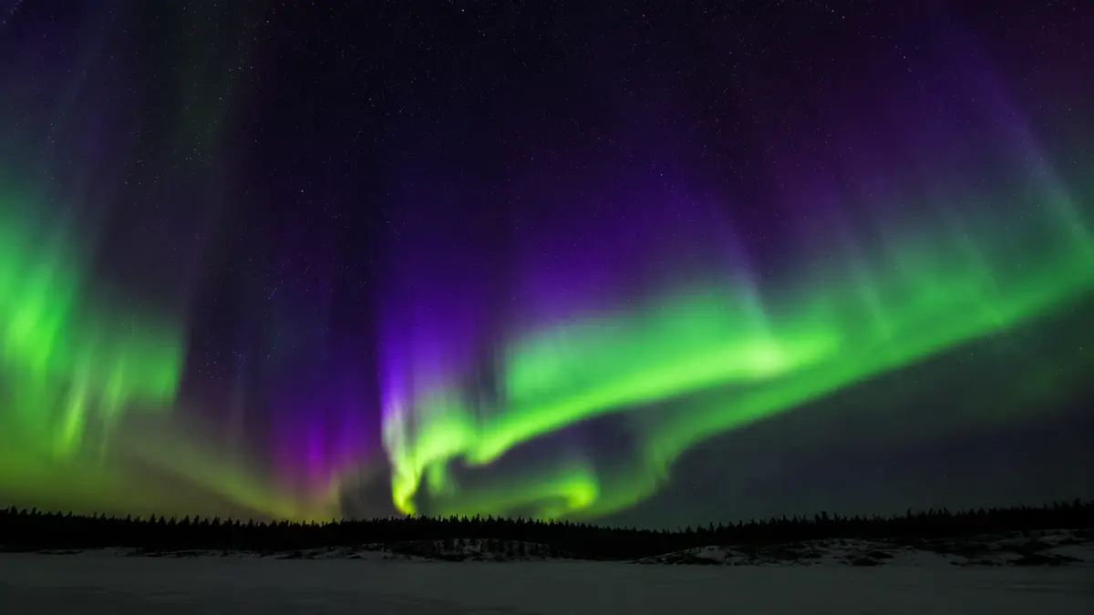 Representative preview
AuroraMAX provides a seasonal near-real-time view of the northern sky from Yellowknife during dark hours in aurora season.
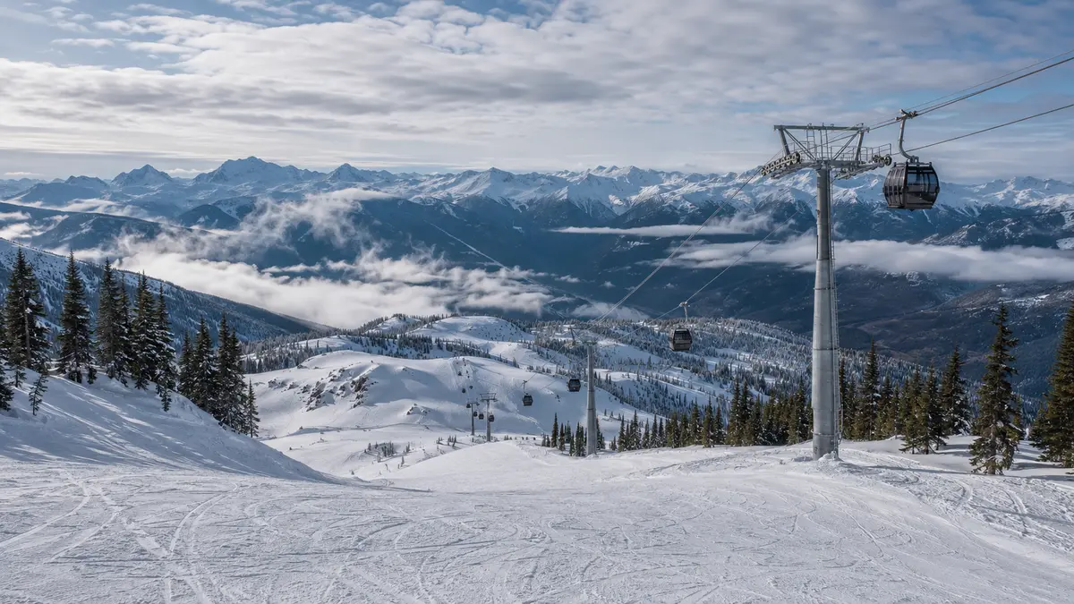 Representative preview
Official resort cameras show high-alpine visibility, snow coverage and activity around Whistler and Blackcomb mountain viewpoints.
 Representative preview
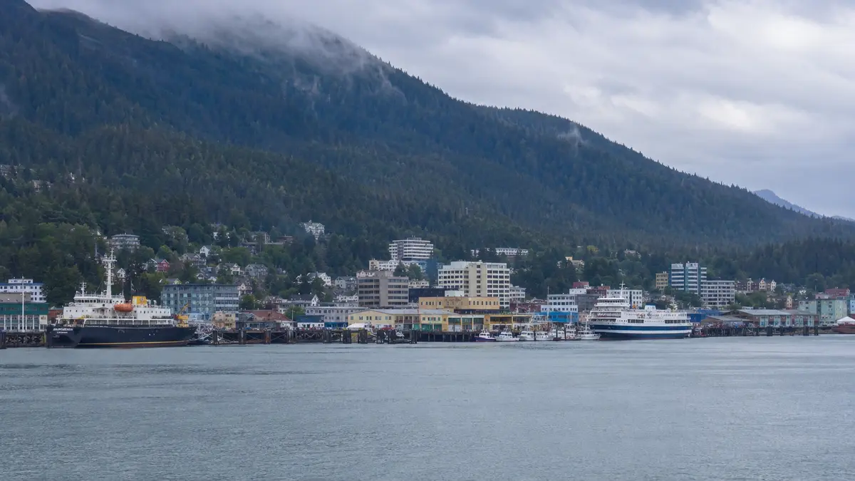
A long-running Juneau-area network shows downtown, Douglas Harbor, Gastineau Channel, Auke Bay and surrounding mountain weather.
 Representative preview
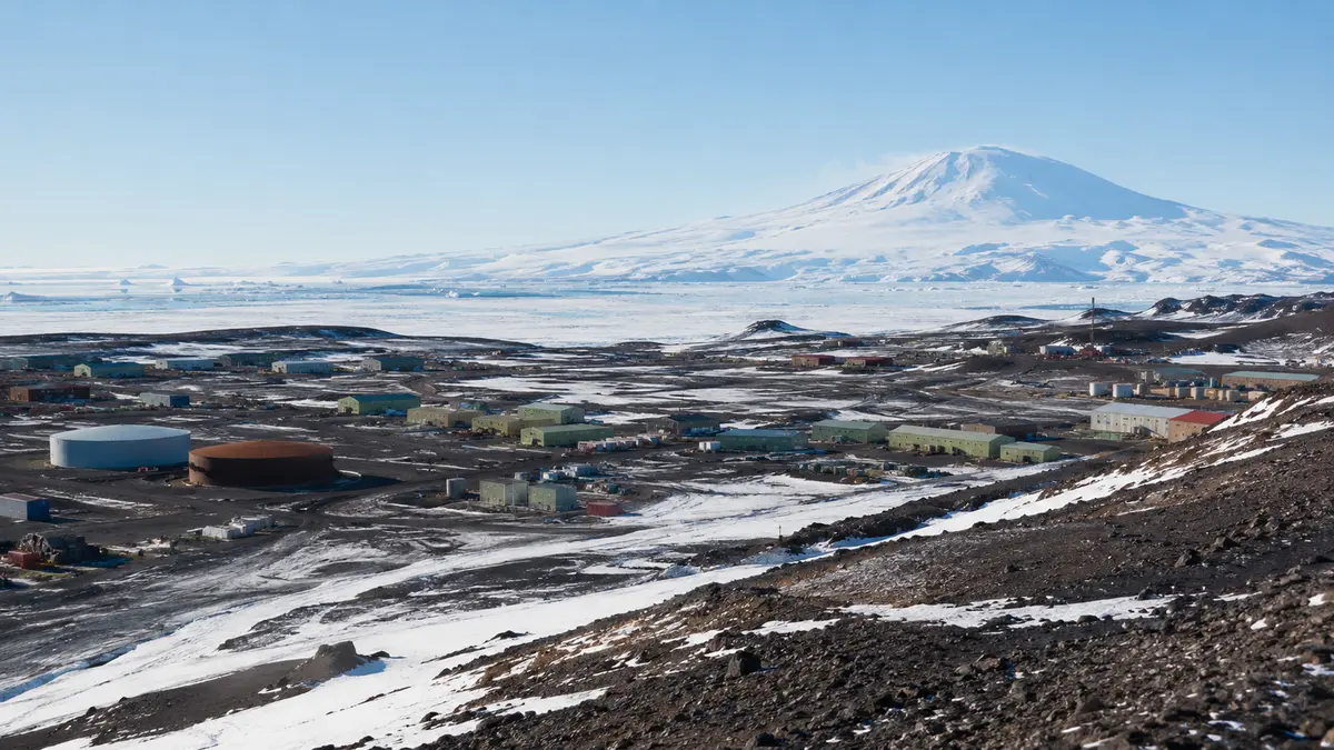
The U.S. Antarctic Program view shows current conditions around McMurdo Station on Ross Island.
 Representative preview
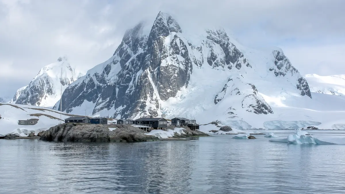
A frequently refreshed official view across Palmer Station and Arthur Harbour.
 Representative preview
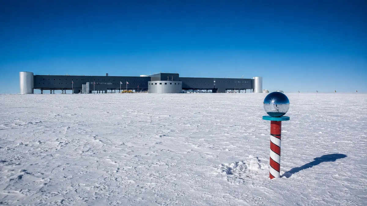
NOAA provides a current exterior view from its South Pole observatory when satellite communications allow.
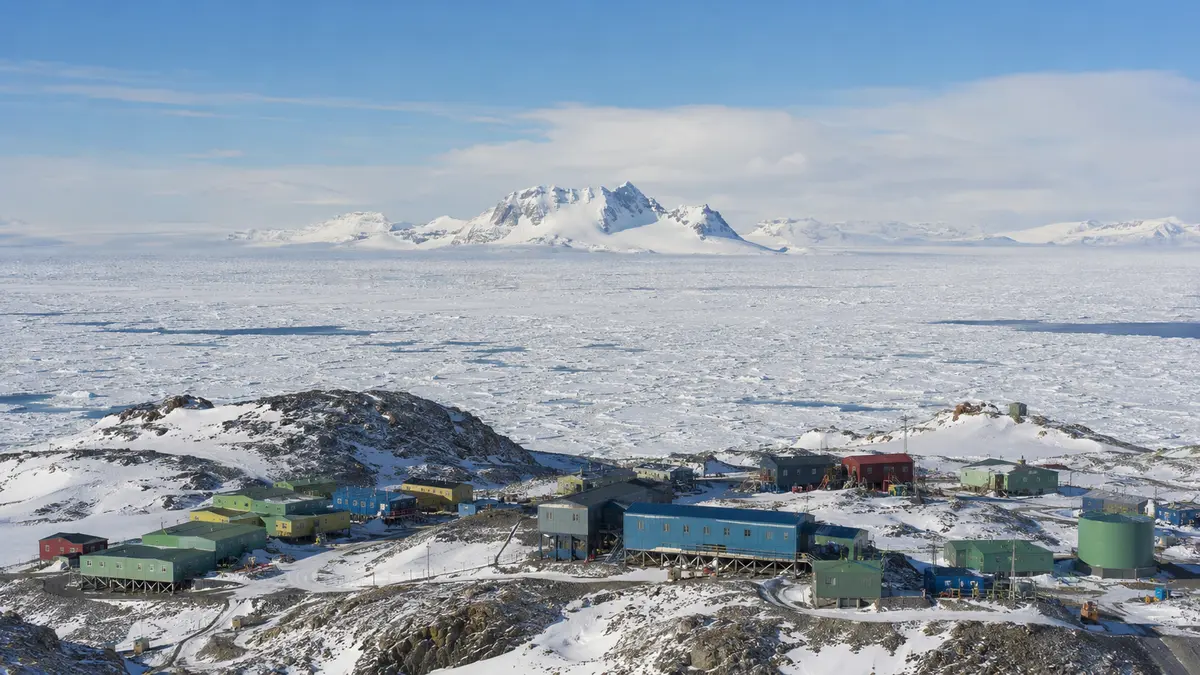 Representative preview
The Australian Antarctic Division publishes current views of Mawson Station and its coastal surroundings.
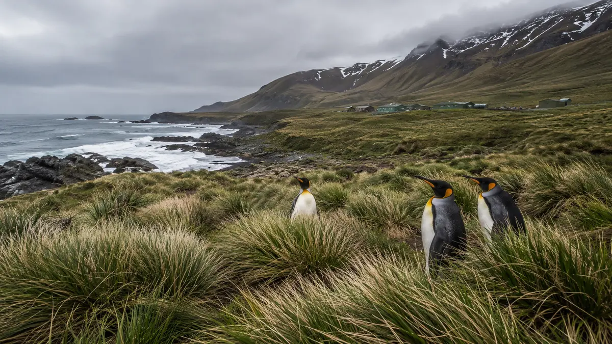 Representative preview
A remote official view from the World Heritage-listed subantarctic island and research station.
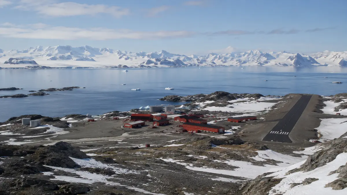 Representative preview
The British Antarctic Survey webcam hub includes current imagery from Rothera and other remote research locations.
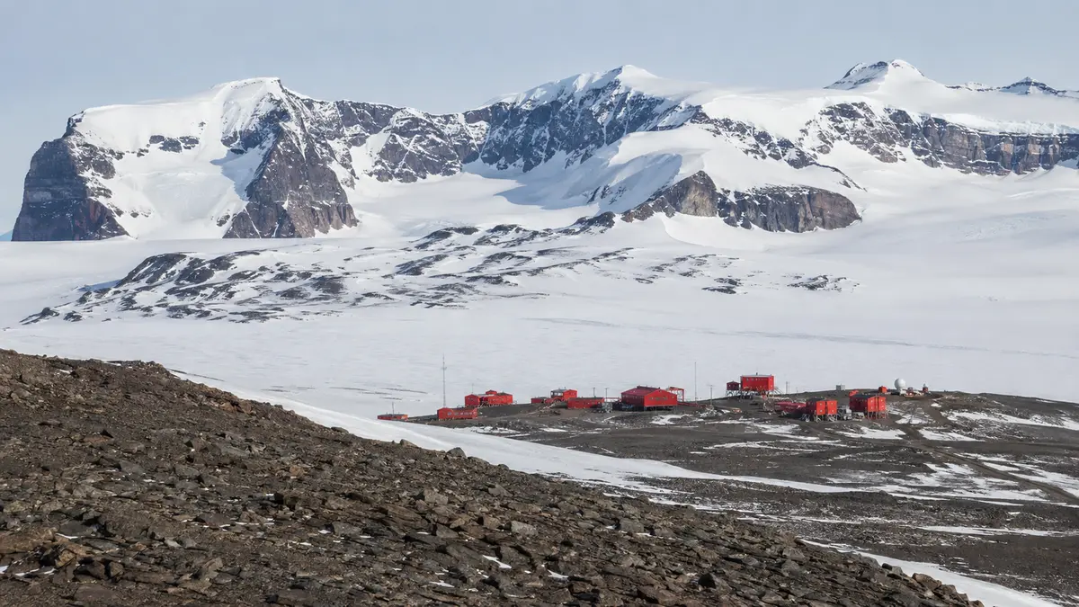 Representative preview
The Norwegian Polar Institute publishes a remote view from Troll Station in Queen Maud Land.
Representative previewThe Australian Antarctic Division webcam hub includes imagery from the research icebreaker RSV Nuyina when available.
Representative previewOfficial harbour cameras show current entrance, sea and visibility conditions around Nelson.
Representative previewThe airport-linked panoramic webcam overlooks the runway, apron and surrounding Tyrolean Alps.
 Representative preview
Two airport-operated views show the east and west apron, aircraft stands and taxiways leading toward the runway.
Representative previewThe official airport webcam provides a current view across Apron 9 at Malta International Airport.
Representative previewThe airport authority provides a public live view for checking airfield conditions and watching general-aviation activity.
 Representative preview
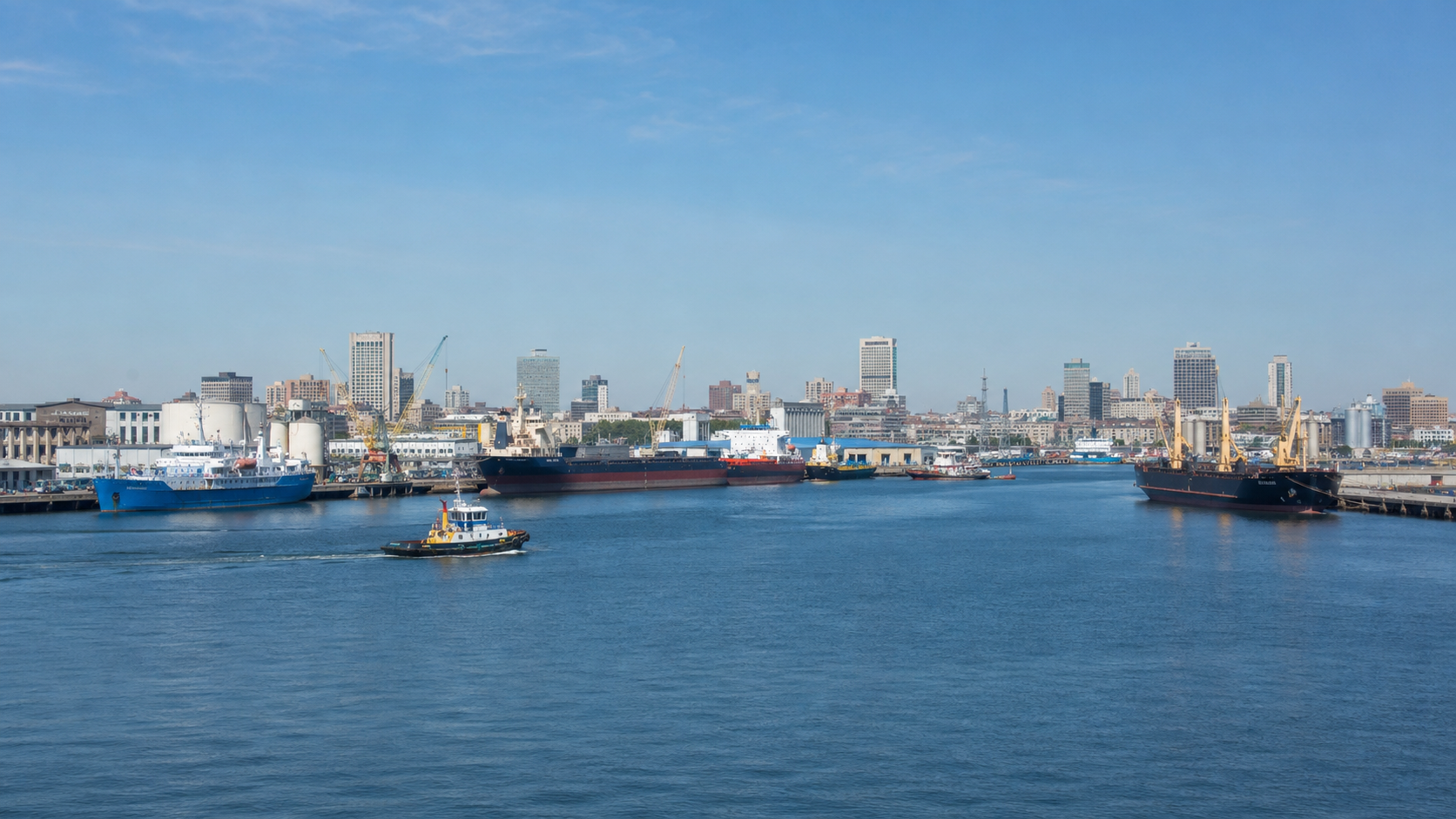
A dramatic look toward the Columbia River meeting the Pacific, with changing surf, weather, visibility and ship traffic.
Representative previewAn official live view of the Coquille River entrance, where boats, surf, fog and Oregon Coast weather continually change the scene.
Representative previewA working coastal view of the Chetco River entrance for watching swell, weather, visibility and harbor traffic.
Representative previewA lively tropical inlet view with boats, breaking surf, tides and fast-changing Florida weather.
Representative previewA repeat-worthy view where surfing, boating, fishing and coastal scenery meet at Sebastian Inlet.
Representative previewAn official jetty view for watching Fort Pierce Inlet, surf, boats and changing coastal conditions.
Representative previewMultiple official views from Beacon Hill show the harbour entrance, Cook Strait weather, visibility and ship movement.
Representative previewSeveral Port Otago views cover Taiaroa Head, Aramoana and the active entrance to Otago Harbour.
Representative previewAn official entrance view with surf, breakwaters, boats and changing coastal conditions at Tweed Heads.
Representative previewA clear government view of the Brunswick River entrance, its breakwaters and changing ocean conditions.
Representative previewAn official look across the Hastings River mouth for boats, offshore conditions, surf and weather.
Representative previewA distinctive exposed entrance view framed by Narooma’s breakwaters and constantly changing sea conditions.
Representative previewAn attractive South Coast harbour and bar view with fishing boats, swell and changeable weather.
Representative previewA broad bay and Clyde River entrance view for observing boating, swell, visibility and coastal weather.